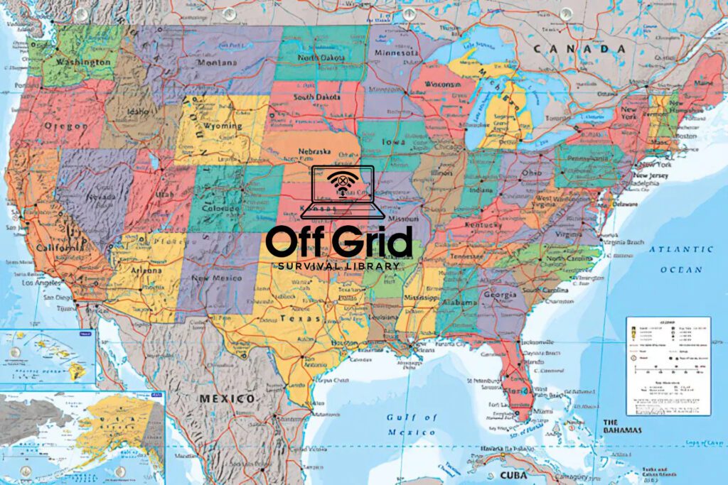
We want to make sure that we have access to good off grid survival maps available in a SHTF or EOTWAWKI situation. Our plan is to be settled in somewhere long before we run out of survival supplies.

In an off grid situation, we won’t have access to “moving maps”, and may not even have access to GPS data. There is a lot of discussion as to whether the satellites would survive an EMP, and even if they do there will be very few computers or handheld devices that survive, and those that do would need internet connection to actually navigate using GPS.
We were lucky enough to find a full set of State maps archived from the USGS (which no longer exists) that show major highways, waterways and some level of geological information. This isn’t Google Maps, but we feel comfortable that we will have the information we need if we have to go on the move or locate new sources of fresh drinkable water.
USGS Maps of All 50 States This archive provides maps of the entire United States that show things like County boundaries, lakes / streams, capital cities and things of that nature. We chose to download the “reference map” files for each of the states to provide us access to major cities, waterways and things of that nature.
As we locate other offline map resources, we will notify our members and update the website.